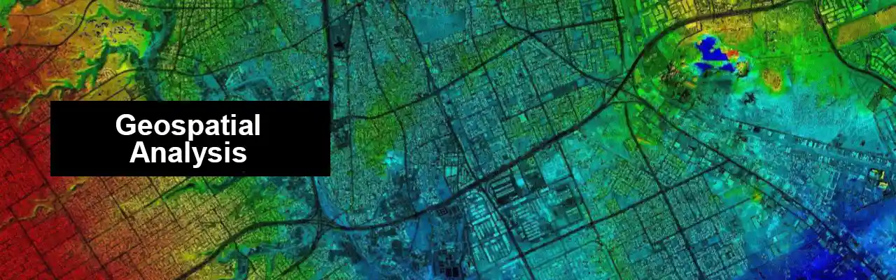
Geospatial Analysis refers to the collection, manipulation, and interpretation of geographic information to gain insights and make informed decisions. Land surveying, ground truthing, and GIS (Geographic Information System) are all important components of geospatial analysis, as they involve the acquisition, validation, and management of spatial data. Geospatial analysis has a wide range of applications, including urban planning, natural resource management, emergency management, and many others.
Applications of GIS
Coastal Zone Management and Mapping:
Coastal zone management refers to the process of managing the various features of the Earth’s landscape. Determining the accurate length of a coastline is a vital part of coastal zone management. This is done through the classification and monitoring of the area.

Environment and Climate Change:
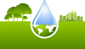
Geographic Information Systems (GIS) are tools that help organizations monitor the environment through satellite images. They can then use this data to allocate funds for specific species. Through satellite images, an organization can also observe the distribution of various habitats and natural resources.

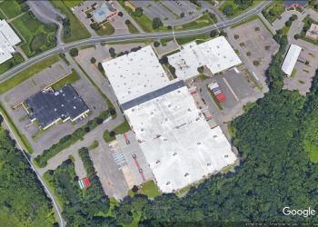
Infrastructure Management:
Geographic information systems are used for the design and construction of infrastructure. They allow engineers to communicate with each other and maintain current data. They can also perform iterative data collection procedures without having to exchange data files.
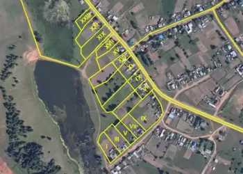
Land management and reform:
Geographic Information Systems (GIS) are tools that allow land managers to quickly visualize and analyze the changes in land use options. Therefore, they are becoming more critical in the management of land. With the ability to change swiftly and analyze multiple land use options, users can make informed decisions.
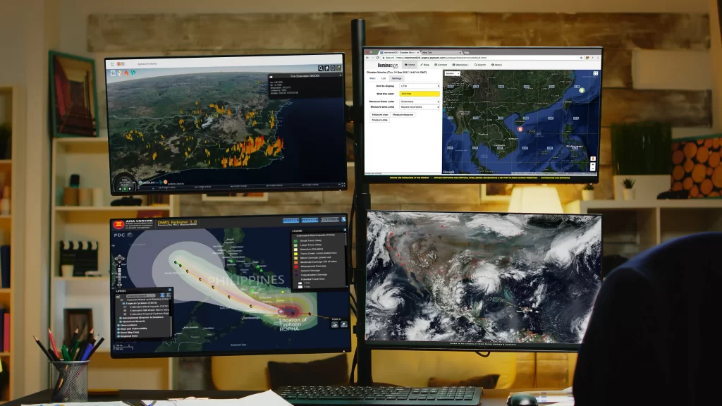
Natural Disaster Monitoring:
Geographic Information Systems are commonly utilized in the management of natural disasters, such as flood control, landslides, soil erosion, and earthquake. They also help address the various environmental issues that are currently affecting the world, such as climate change and habitat loss.
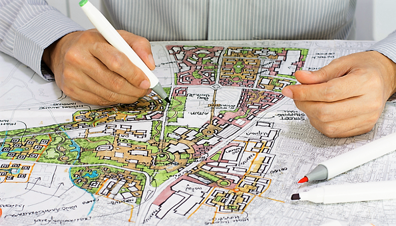
Urban Planning:
With the help of GIS technology, urban planners can now visualize and analyze the various data sources they collect and can thus make informed decisions regarding the planned projects.
Applications of Ground Truthing

Environment:
Collecting environmental values of soil, water, and air to evaluate the quality of specific site.
Water management:
Testing the water quality in different check points to help improve the treatment process.

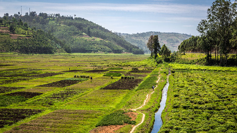
Agriculture:
Sampling and evaluation of the vital parameters of crops and plants.
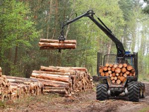
Forestry:
Early detection of trees anomalies and sicknesses.
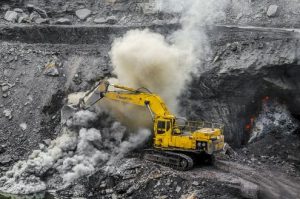
Mines and natural resources:
Improve the quality of the extractables (oil, coal, cement, etc.).
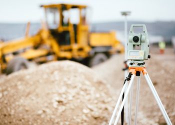
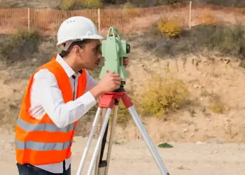
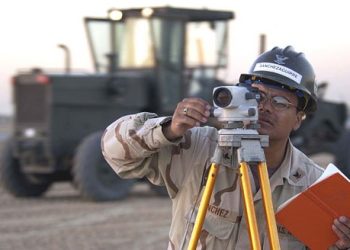
Land Surveying
Surveying has been an integral part of the human development process since the very beginning of recorded history. It is commonly used in the planning and execution of various construction projects and is also utilized in mapping, transportation, and the definition of boundaries for land ownership.
Applications of Land Surveying

As-built Survey:
Used to document the location of various components of a construction project.
Boundary Survey:
Involves establishing or re-creating the boundaries of a property using a legal description.
ALTA/ACSM's Land Title Survey:
Standardizes the methods used in surveying and mapping land.
Control survey:
Sets the starting points for future projects. Can also be used to establish reference points for other types of surveying.
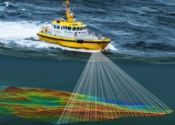
Hydrographic survey:
Conducted to map the bed and shoreline of a body of water.

Mortgage survey:
A physical survey that shows the boundaries of a property and its building locations.
Setout or stakeout:
A component of other surveys that involve the marking of an object’s proposed or calculated position on the ground. This is a vital part of cadastral and engineering surveying.
Topographic survey:
Considers the elevation of points on a given piece of land.
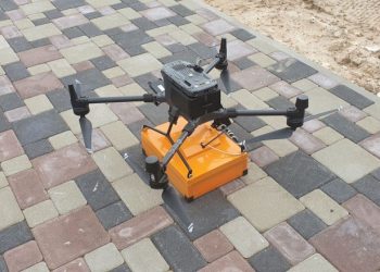
Drone Surveying:
Helps contractors in site surveying and captures detailed aerial images and site data.